 MapPalette
Maps of International Organisations
Which countries are in NATO? In BRICS? In the Commonwealth? Each page below answers that with a map rather than a list — every member country shaded, every roster dated, and four map styles to download free at 3200 pixels wide.
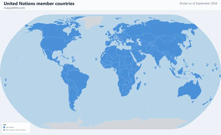 United Nations193 member countries · September 2026
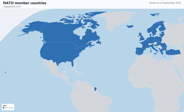 NATO32 member countries · September 2026
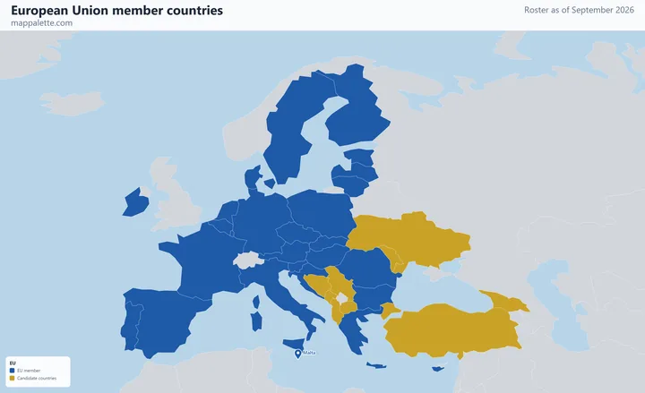 European Union27 member countries · September 2026
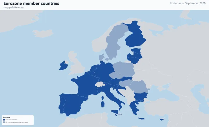 Eurozone21 member countries · September 2026
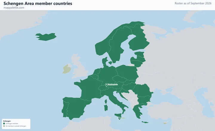 Schengen Area29 member countries · September 2026
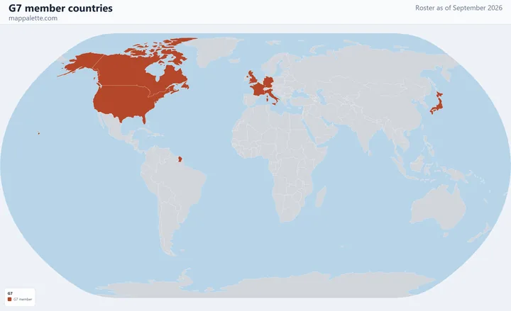 G77 member countries · September 2026
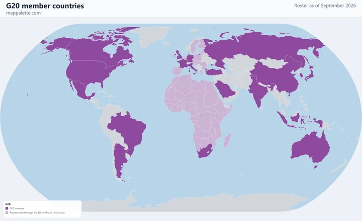 G2019 member countries · September 2026
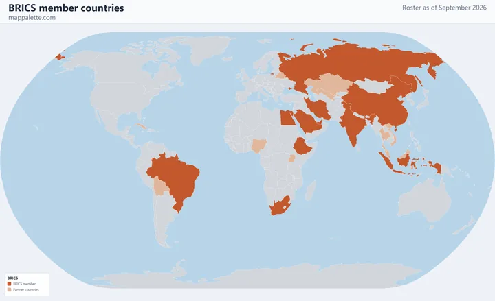 BRICS11 member countries · September 2026
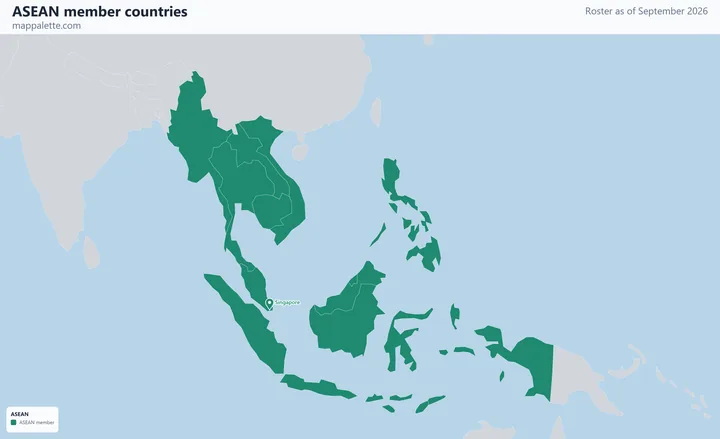 ASEAN11 member countries · September 2026
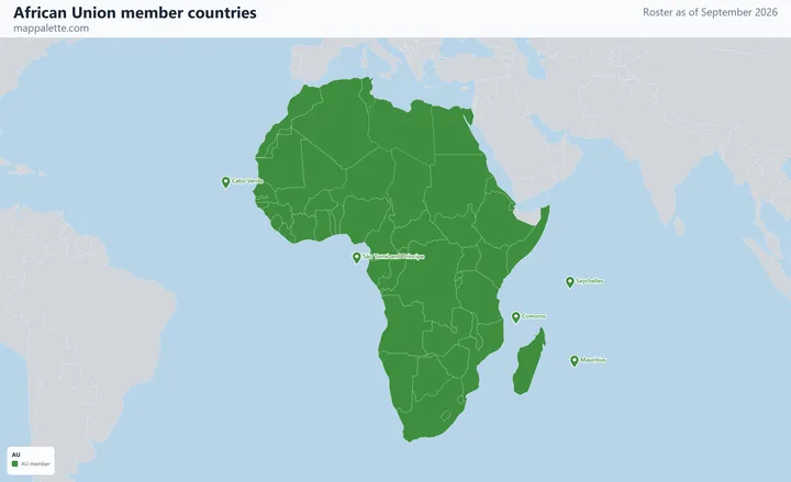 African Union55 member countries · September 2026
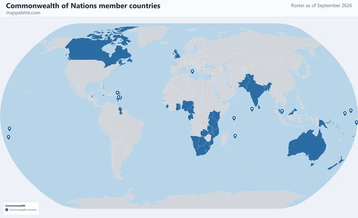 Commonwealth of Nations56 member countries · September 2026
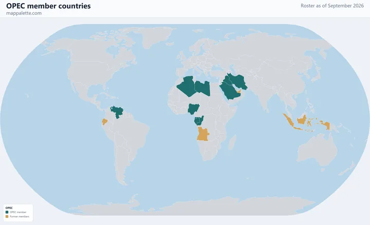 OPEC11 member countries · September 2026
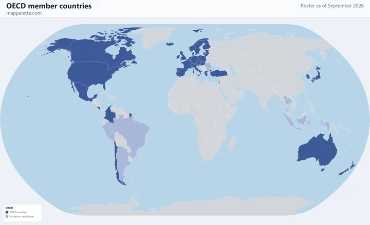 OECD38 member countries · September 2026
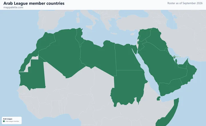 Arab League22 member countries · September 2026
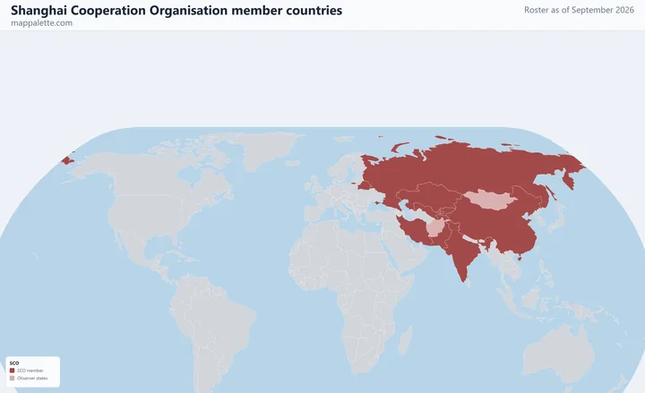 Shanghai Cooperation Organisation10 member countries · September 2026
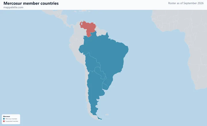 Mercosur5 member countries · September 2026
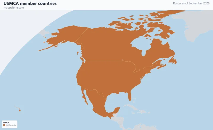 USMCA3 member countries · September 2026
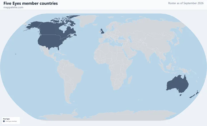 Five Eyes5 member countries · September 2026
How these maps are made
Every map is drawn by the same engine that runs the world map maker on this site, from the public-domain Natural Earth boundary dataset. Each organisation is rendered four times — as a flat political map, over satellite imagery on a globe, on a Mercator street map, and on an Equal Earth terrain map — so the same membership can be read on whichever base suits what you are making.
Rosters are hand-checked against each organisation's own published membership list and carry the date they were checked, which is printed on the map itself. That matters more than it sounds: the UAE left OPEC in May 2026, Timor-Leste joined ASEAN in October 2025, Bulgaria entered the euro area in January 2026, and most membership maps in circulation predate all three.
Small member states have no polygon in a world-scale boundary dataset — Singapore, Malta, Bahrain, Barbados and the Pacific and Caribbean island states among them. Dropping them would make a membership map quietly wrong, so each is drawn as a marker at its true position and named on the organisation's page.
Make your own
Every organisation page has a link that opens its roster in the world map maker, already shaded, so you can recolour it, relabel the legend, change projection and export your own version. You can also start from a blank map and build any grouping you like, or browse maps of individual countries and their internal regions.