 MapPalette
World Map Maker — Color the Countries of the World
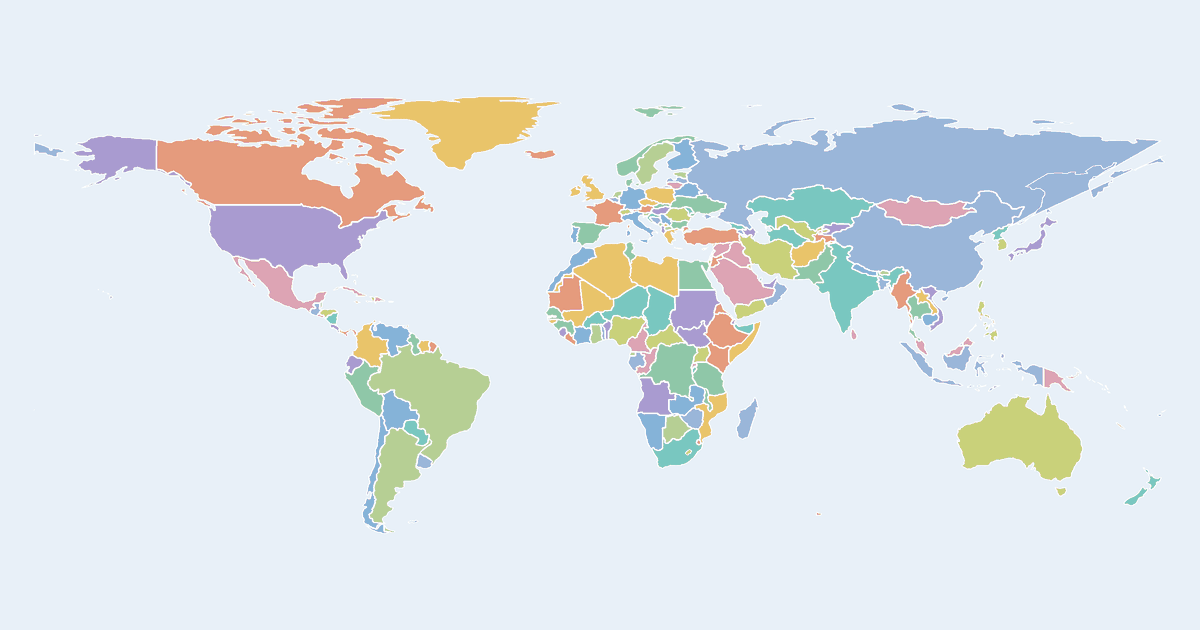
Create a custom colored world map in your browser. Click any of the 195 countries to color it, group countries by color, label each group in the legend, and download the result as a high-resolution PNG or SVG — free and without an account.
People use this world map maker to show countries they have visited, election and sports results, trade partners, language regions, and any other data that maps to countries. You can also import a country–value table to generate a choropleth world map automatically, choose between Natural Earth, Equal Earth, Mercator and Globe projections, and switch on satellite, street or terrain base layers.
How to make a custom world map
- Pick a color from the palette on the left (or use the custom color picker).
- Click countries on the map to fill them with the selected color.
- Add a label for each color in the legend editor, and give the map a title.
- Optionally import name–value data to build a choropleth automatically.
- Click Download to export a high-resolution PNG or a scalable SVG.
Frequently asked questions
Is this map maker free?
Yes. Every map on MapPalette is free to create and download, with no account, sign-up or watermark.
What file formats can I download?
You can export any map as a PNG image up to 10,000 pixels wide, or as an SVG vector file that scales to any size — both are publication-ready.
Can I make a choropleth world map from data?
Yes. Click “Import data”, paste rows like “India, 42” and the map maker shades every country by its value using the color ramp you pick — Blues, Viridis, Red–Yellow–Green and more.
Which map projections are supported?
Natural Earth, Equal Earth, Mercator and an interactive 3D globe (orthographic) projection.