 MapPalette
India Map Maker — Color the States & Union Territories of India
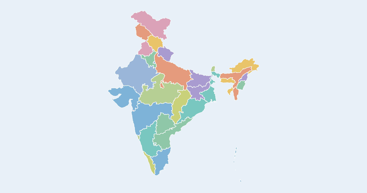
Create a custom colored map of India with all 28 states and 8 union territories. Click a state to color it, group states by color, label each group in the legend, and download your India map as a high-resolution PNG or SVG — free, no sign-up. The map uses the official Indian boundary, including Jammu & Kashmir and Ladakh in full.
This India map maker is used for election maps, language and culture maps, GST or sales-territory maps, travel checklists and school projects. You can also paste state–value data to generate a choropleth map of India automatically.
States and union territories on the map
States: Andhra Pradesh, Arunachal Pradesh, Assam, Bihar, Chhattisgarh, Goa, Gujarat, Haryana, Himachal Pradesh, Jharkhand, Karnataka, Kerala, Madhya Pradesh, Maharashtra, Manipur, Meghalaya, Mizoram, Nagaland, Odisha, Punjab, Rajasthan, Sikkim, Tamil Nadu, Telangana, Tripura, Uttar Pradesh, Uttarakhand, West Bengal.
Union territories: Andaman and Nicobar Islands, Chandigarh, Dadra and Nagar Haveli and Daman and Diu, Delhi, Jammu and Kashmir, Ladakh, Lakshadweep, Puducherry.
How to make a custom map of India
- Pick a color from the palette on the left (or use the custom color picker).
- Click states and union territories on the map to fill them with the selected color.
- Add a label for each color in the legend editor, and give the map a title.
- Optionally import name–value data to build a choropleth automatically.
- Click Download to export a high-resolution PNG or a scalable SVG.
Frequently asked questions
Is this map maker free?
Yes. Every map on MapPalette is free to create and download, with no account, sign-up or watermark.
What file formats can I download?
You can export any map as a PNG image up to 10,000 pixels wide, or as an SVG vector file that scales to any size — both are publication-ready.
Does the map show the correct boundaries of India?
Yes. The map uses the official Indian external boundary — Jammu & Kashmir, Ladakh, Gilgit-Baltistan and Aksai Chin are shown as part of India.
Can I make an India choropleth map from data?
Yes — click “Import data”, paste rows like “Maharashtra, 112” and the states are shaded automatically with the color ramp you choose.