 MapPalette
Asia Map Maker — Color the Countries of Asia
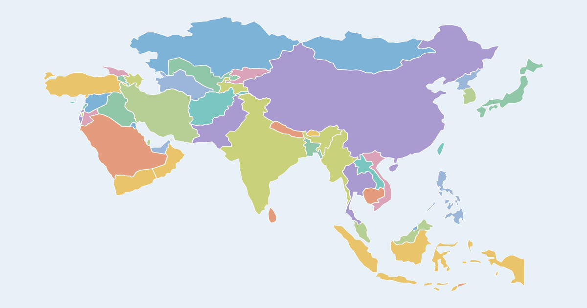
Color a map of Asia online: click countries — from India, China and Japan to Indonesia, Saudi Arabia, Vietnam, Thailand and the Central Asian republics — to fill them with color, build a legend, and export a high-resolution PNG or SVG for free.
The Asia map is ideal for showing travel itineraries, economic comparisons, historical empires, or classroom geography exercises across the world's largest continent.
How to make a custom map of Asia
- Pick a color from the palette on the left (or use the custom color picker).
- Click Asian countries on the map to fill them with the selected color.
- Add a label for each color in the legend editor, and give the map a title.
- Optionally import name–value data to build a choropleth automatically.
- Click Download to export a high-resolution PNG or a scalable SVG.
Frequently asked questions
Is this map maker free?
Yes. Every map on MapPalette is free to create and download, with no account, sign-up or watermark.
What file formats can I download?
You can export any map as a PNG image up to 10,000 pixels wide, or as an SVG vector file that scales to any size — both are publication-ready.
Which countries are on the Asia map?
All sovereign Asian states plus commonly mapped territories — over 50 in total, including the Middle East, Central Asia, South Asia, Southeast Asia and East Asia.