 MapPalette
Europe Map Maker — Color the Countries of Europe
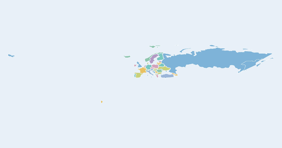
Make a custom colored map of Europe: click countries — Germany, France, Italy, Spain, the United Kingdom, Poland, the Nordics, the Balkans and more — to color them, label the colors in a legend, and download the map as PNG or SVG.
Popular uses include EU membership maps, election result maps, travel maps, historical borders and Eurovision score maps. Import a country–value table to shade Europe as a choropleth automatically.
How to make a custom map of Europe
- Pick a color from the palette on the left (or use the custom color picker).
- Click European countries on the map to fill them with the selected color.
- Add a label for each color in the legend editor, and give the map a title.
- Optionally import name–value data to build a choropleth automatically.
- Click Download to export a high-resolution PNG or a scalable SVG.
Frequently asked questions
Is this map maker free?
Yes. Every map on MapPalette is free to create and download, with no account, sign-up or watermark.
What file formats can I download?
You can export any map as a PNG image up to 10,000 pixels wide, or as an SVG vector file that scales to any size — both are publication-ready.
Does the map include microstates?
Yes — Andorra, Monaco, San Marino, Liechtenstein, Malta and Vatican-adjacent areas are all clickable, along with 40+ larger countries from Iceland to the Caucasus.