 MapPalette
North America Map Maker — Color Countries from Canada to Panama
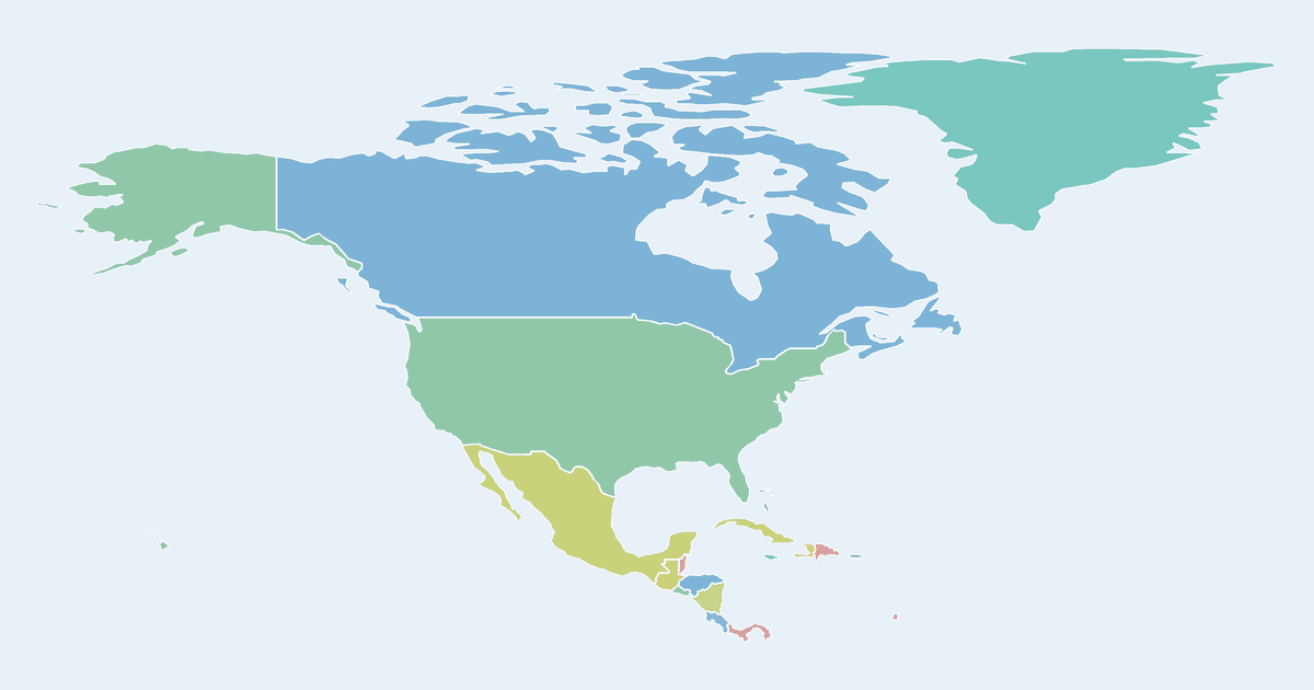
Color a map of North America online: the United States, Canada, Mexico, Greenland, the seven Central American countries and the Caribbean islands are all clickable. Add a legend and download your custom map as PNG or SVG, free.
Need US states or Canadian provinces instead of whole countries? Open the USA state map or Canada province map.
How to make a custom map of North America
- Pick a color from the palette on the left (or use the custom color picker).
- Click countries on the map to fill them with the selected color.
- Add a label for each color in the legend editor, and give the map a title.
- Optionally import name–value data to build a choropleth automatically.
- Click Download to export a high-resolution PNG or a scalable SVG.
Frequently asked questions
Is this map maker free?
Yes. Every map on MapPalette is free to create and download, with no account, sign-up or watermark.
What file formats can I download?
You can export any map as a PNG image up to 10,000 pixels wide, or as an SVG vector file that scales to any size — both are publication-ready.
Can I color US states instead of countries?
Yes — MapPalette also has per-country maps with state and province boundaries for the USA, Canada, Mexico and 250+ other countries.