 MapPalette
European Union Member Countries Map
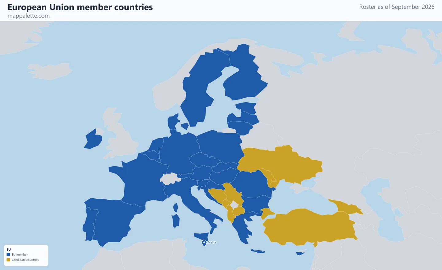
A map of the 27 member countries of the European Union, drawn from the roster as it stood in September 2026, in four map styles and free to download at high resolution.
- Members
- 27
- Founded
- 1993 (Maastricht Treaty)
- Headquarters
- Brussels, Belgium
- Roster as of
- September 2026
About the European Union
The European Union has 27 member states. The number has been stable since the United Kingdom's departure in January 2020 — the only territorial contraction in the bloc's history — and no country has acceded since Croatia in 2013.
The second colour marks the nine official candidate countries: Albania, Bosnia and Herzegovina, Georgia, Moldova, Montenegro, North Macedonia, Serbia, Türkiye and Ukraine. Candidate status confers no membership rights and says nothing certain about timing — Türkiye has held it since 1999 — but it does show where the Union's borders are being negotiated. Montenegro is generally considered furthest along.
Membership is often confused with two overlapping arrangements that this site maps separately. The euro area is smaller: 21 of the 27 members use the euro. The Schengen free-movement zone is differently shaped again, taking in Iceland, Liechtenstein, Norway and Switzerland, which are not EU members at all, while leaving out EU member Cyprus.
The same membership in four map styles
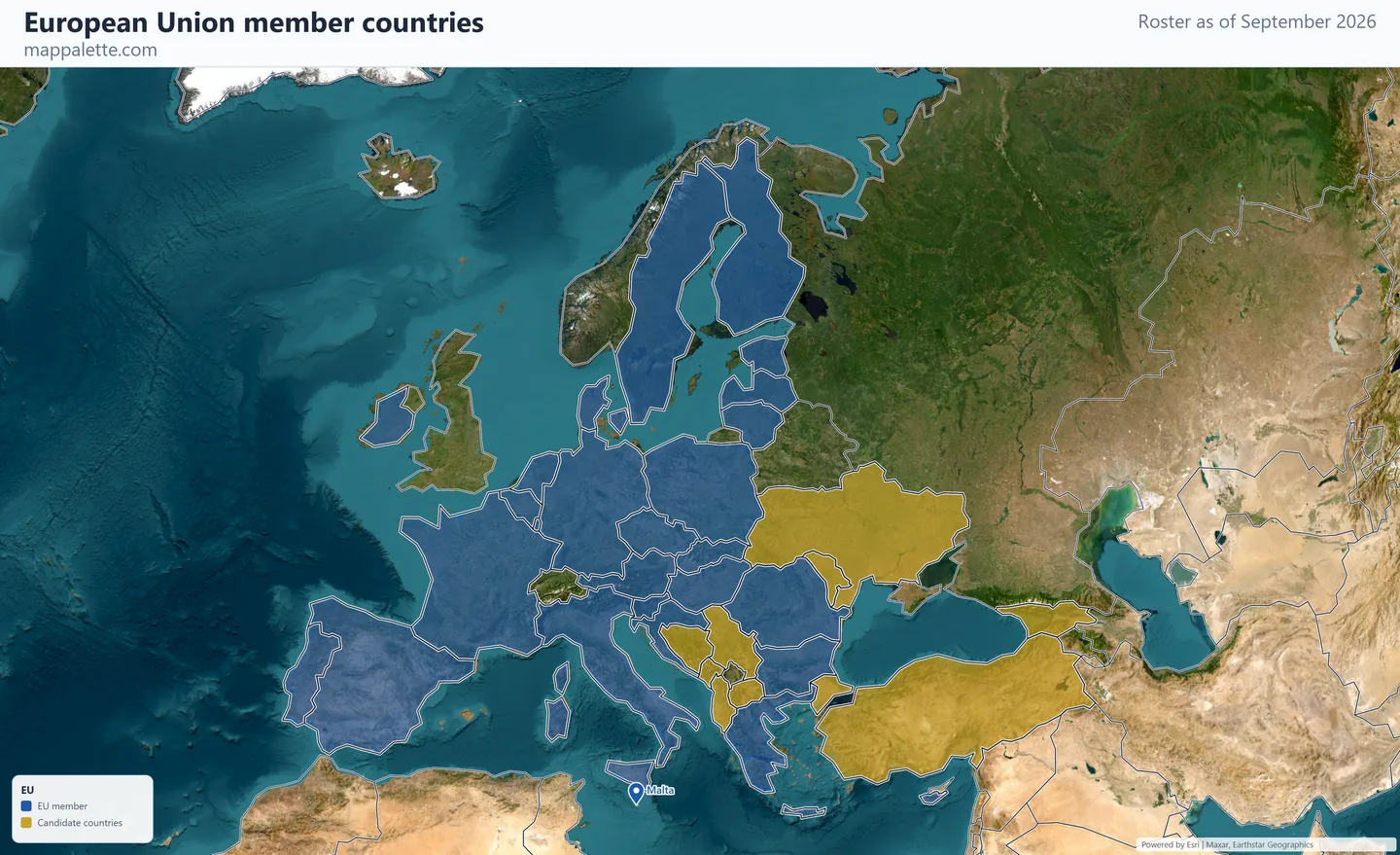
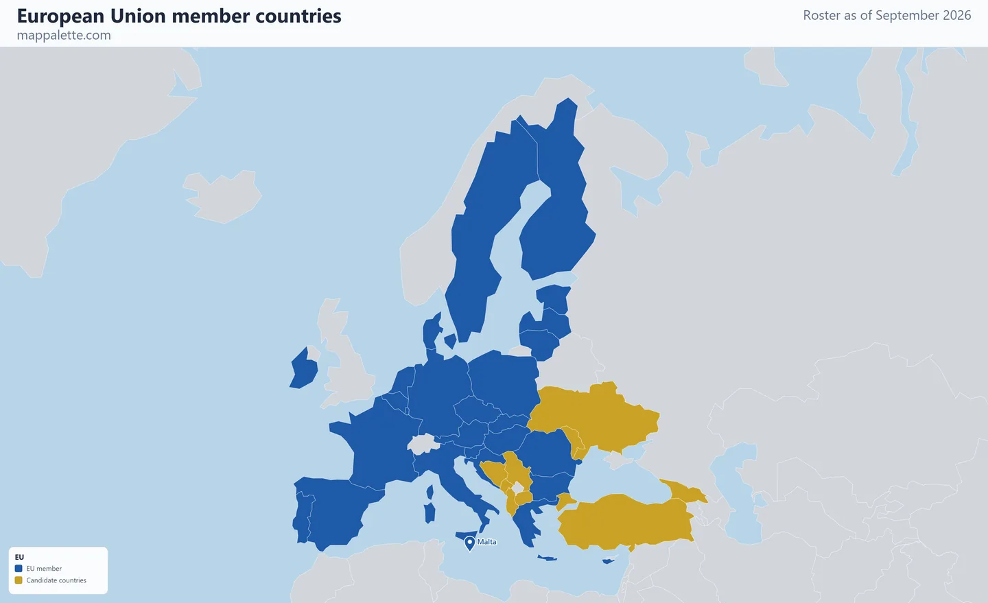
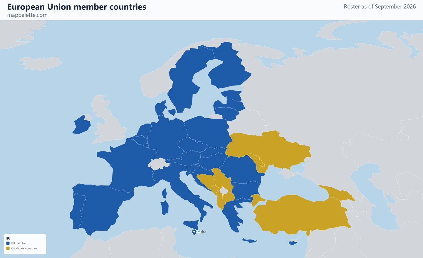
Every map on this page shows the identical roster — only the base layer and the projection change. Pick whichever reads best for what you are making, and download it at 3200 pixels wide.
The 27 EU member countries
- Austria
- Belgium
- Bulgaria
- Croatia
- Cyprus
- Czechia
- Denmark
- Estonia
- Finland
- France
- Germany
- Greece
- Hungary
- Ireland
- Italy
- Latvia
- Lithuania
- Luxembourg
- Malta
- Poland
- Portugal
- Romania
- Slovakia
- Slovenia
- Spain
- Sweden
- The Netherlands
Candidate countries (9)
Albania, Bosnia and Herzegovina, Georgia, Moldova, Montenegro, North Macedonia, Serbia, Türkiye, Ukraine
.Shown as markers: Malta. The boundary data behind these maps is Natural Earth's 1:110m world geometry, which carries no polygon for states this small — at world scale they are smaller than a single pixel. Rather than drop them from a membership map, each is drawn as a marker at its true position.
Colour your own version of this map
The link below opens this exact roster in the world map maker, already shaded. From there you can change the colours, relabel the legend, switch projection, add pins or annotations, and export your own version as PNG or SVG.
Open the EU map in the editor →Source for the roster: european-union.europa.eu, checked September 2026.
Using these maps
All four downloads are free for personal, classroom, academic and editorial use — a school project, a lecture slide, a blog post, a news graphic. Boundaries come from Natural Earth, which is public domain. The satellite, street and terrain versions are drawn over Esri basemap imagery, credited in the corner of each image; keep that credit visible when you reuse them.
Please keep the "September 2026" date on the map. Membership changes, and a membership map without a date is the single most common way an out-of-date roster ends up being republished as current.
Questions about EU membership
How many countries are in the EU in 2026?
27. Croatia was the last country to join, in July 2013, and the United Kingdom left in January 2020.
Is Norway or Switzerland in the European Union?
Neither. Both take part in the single market through separate agreements and both are in the Schengen Area, which is why they are frequently mistaken for members. They are not shaded as members on this map.
What is the difference between the EU, the eurozone and Schengen?
The EU is the political and economic union of 27 states; the eurozone is the 21 of them that use the euro; Schengen is a 29-country passport-free travel area that includes four non-EU states. This site has a separate map for each.
Other organisation maps
Eurozone member countries map · Schengen Area member countries map · G7 member countries map · see all 18 organisations