 MapPalette
African Union Member Countries Map
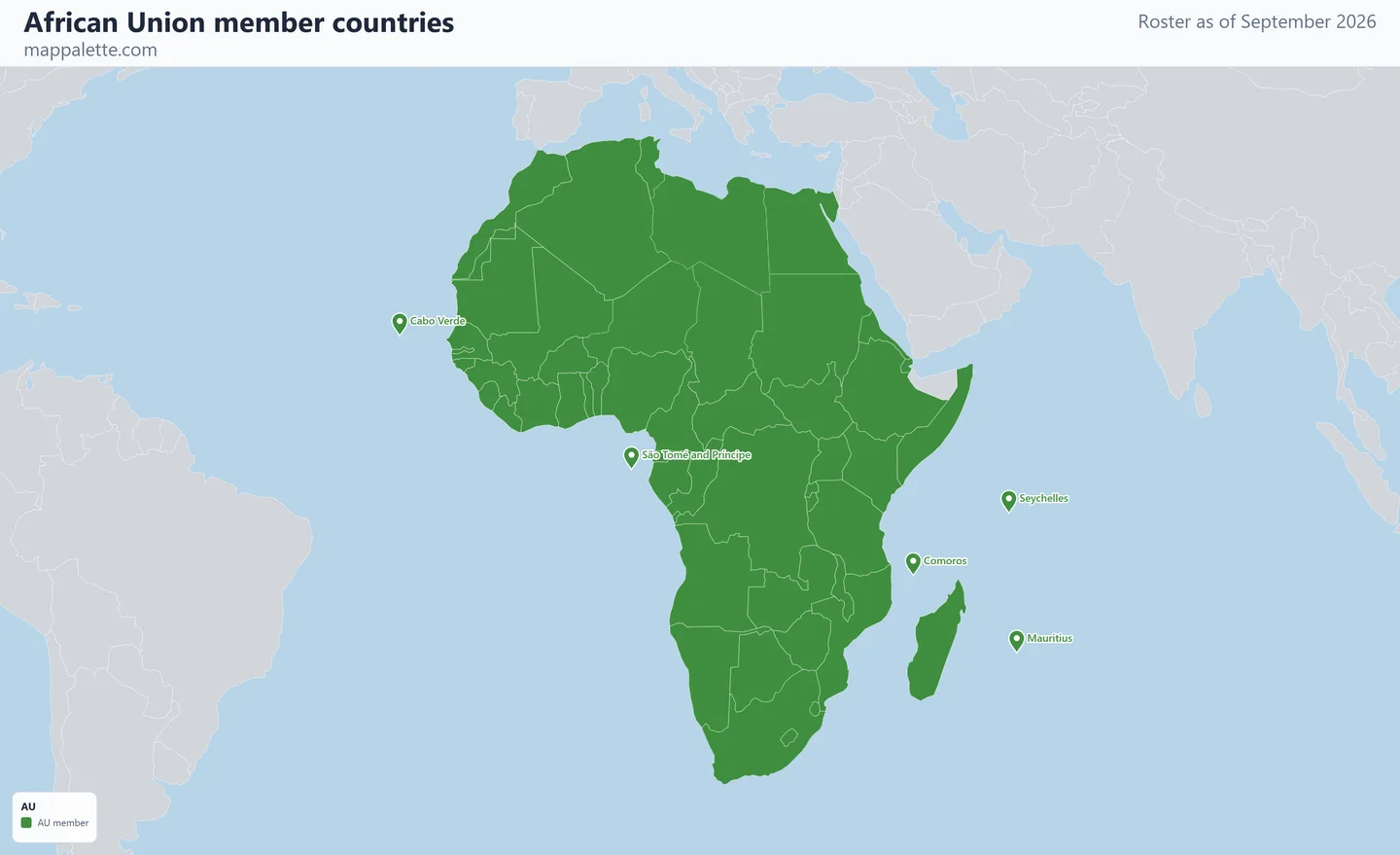
A map of the 55 member countries of the African Union, drawn from the roster as it stood in September 2026, in four map styles and free to download at high resolution.
- Members
- 55
- Founded
- 2002
- Headquarters
- Addis Ababa, Ethiopia
- Roster as of
- September 2026
About the African Union
The African Union seats 55 members — every state on the continent, plus the Sahrawi Arab Democratic Republic, which claims Western Sahara. That last seat is the reason an AU map and a map of Africa are not the same picture: Morocco, which administers most of the territory the Sahrawi Republic claims, left the predecessor Organisation of African Unity in 1984 over exactly this dispute and only rejoined the AU in January 2017. Both are shaded as members here.
The Union was launched in Durban in 2002, succeeding the OAU founded in 1963, and is headquartered in Addis Ababa. Its institutions include the Assembly of heads of state, a Pan-African Parliament in Midrand, South Africa, and the African Continental Free Trade Area, whose secretariat sits in Accra.
Membership is suspended from time to time following unconstitutional changes of government, and several suspensions have been in force in recent years. Suspension is a restriction on participation rather than an expulsion — suspended states remain members — so the map shades all 55.
In September 2023 the AU became the second bloc member of the G20, alongside the European Union, which means every country shaded on this map is now represented at G20 summits.
The same membership in four map styles
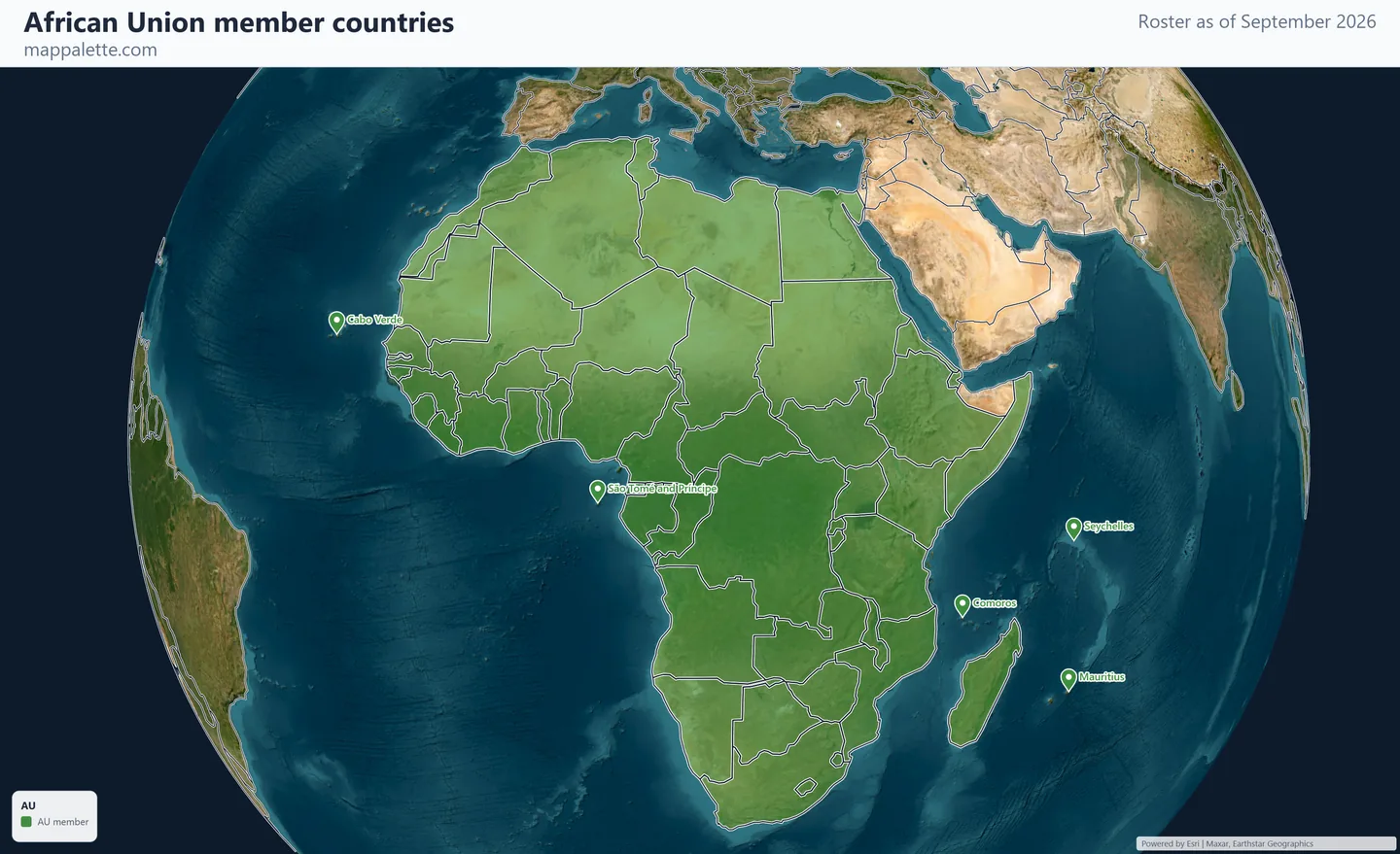
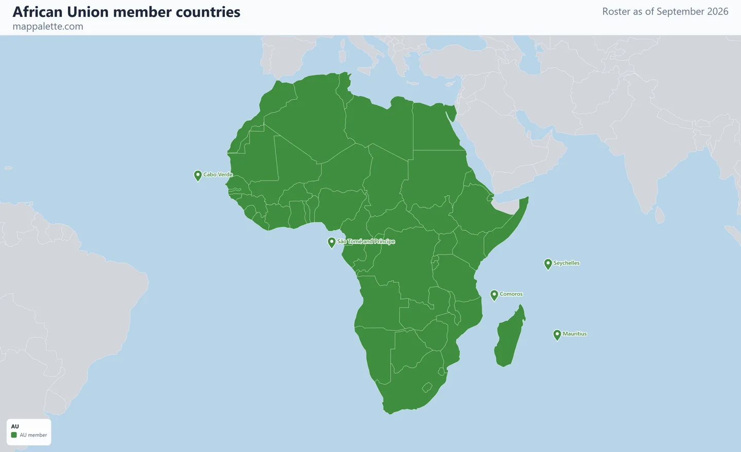
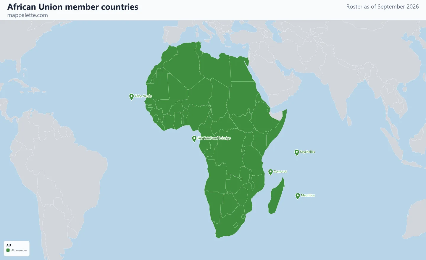
Every map on this page shows the identical roster — only the base layer and the projection change. Pick whichever reads best for what you are making, and download it at 3200 pixels wide.
The 55 AU member countries
- Algeria
- Angola
- Benin
- Botswana
- Burkina Faso
- Burundi
- Cabo Verde
- Cameroon
- Central African Republic
- Chad
- Comoros
- Côte d'Ivoire
- DR Congo
- Djibouti
- Egypt
- Equatorial Guinea
- Eritrea
- Eswatini
- Ethiopia
- Gabon
- Ghana
- Guinea
- Guinea-Bissau
- Kenya
- Lesotho
- Liberia
- Libya
- Madagascar
- Malawi
- Mali
- Mauritania
- Mauritius
- Morocco
- Mozambique
- Namibia
- Niger
- Nigeria
- Republic of the Congo
- Rwanda
- Sahrawi Republic (Western Sahara)
- Senegal
- Seychelles
- Sierra Leone
- Somalia
- South Africa
- South Sudan
- Sudan
- São Tomé and Príncipe
- Tanzania
- The Gambia
- Togo
- Tunisia
- Uganda
- Zambia
- Zimbabwe
Shown as markers: Cabo Verde, Comoros, Mauritius, Seychelles, São Tomé and Príncipe. The boundary data behind these maps is Natural Earth's 1:110m world geometry, which carries no polygon for states this small — at world scale they are smaller than a single pixel. Rather than drop them from a membership map, each is drawn as a marker at its true position.
Colour your own version of this map
The link below opens this exact roster in the world map maker, already shaded. From there you can change the colours, relabel the legend, switch projection, add pins or annotations, and export your own version as PNG or SVG.
Open the AU map in the editor →Source for the roster: au.int, checked September 2026.
Using these maps
All four downloads are free for personal, classroom, academic and editorial use — a school project, a lecture slide, a blog post, a news graphic. Boundaries come from Natural Earth, which is public domain. The satellite, street and terrain versions are drawn over Esri basemap imagery, credited in the corner of each image; keep that credit visible when you reuse them.
Please keep the "September 2026" date on the map. Membership changes, and a membership map without a date is the single most common way an out-of-date roster ends up being republished as current.
Questions about AU membership
How many countries are in the African Union?
55. That is every internationally recognised state on the continent plus the Sahrawi Arab Democratic Republic.
Is Morocco in the African Union?
Yes, since January 2017. Morocco left the predecessor OAU in 1984 in protest at the admission of the Sahrawi Republic and stayed out for 33 years.
Why does this map shade Western Sahara?
Because the African Union seats the Sahrawi Arab Democratic Republic as a full member. The shading reflects AU membership, not a position on the territory's disputed status.
Other organisation maps
Commonwealth of Nations member countries map · OPEC member countries map · OECD member countries map · see all 18 organisations