 MapPalette
Isle of Man Map — Color and Download
Create a custom colored map of Isle of Man online. The dataset draws Isle of Man as a single shape, so one click fills it: pick a color, add a title and a legend entry, and download the finished map as a high-resolution PNG or scalable SVG — free and without an account.
How to make a custom map of Isle of Man
- Pick a color from the palette on the left (or use the custom color picker).
- Click regions on the map to fill them with the selected color.
- Add a label for each color in the legend editor, and give the map a title.
- Optionally import name–value data to build a choropleth automatically.
- Click Download to export a high-resolution PNG or a scalable SVG.
About this map of Isle of Man
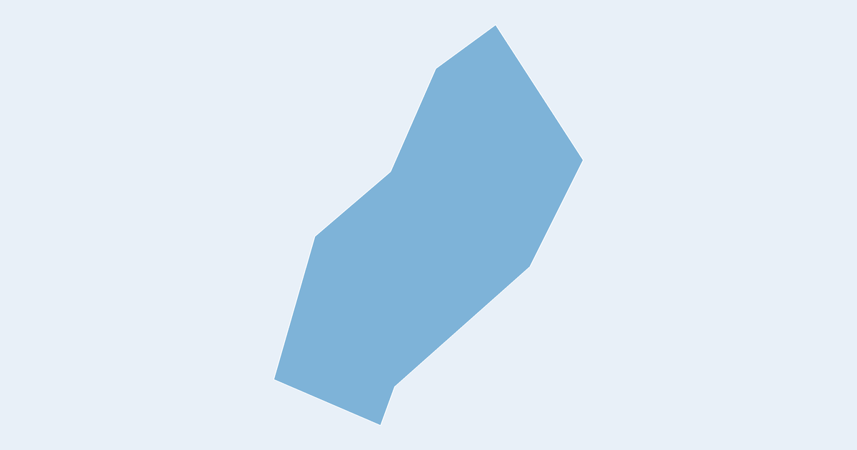
Isle of Man is drawn here as a single shape covering about 556 km² of mapped area, colorable in one click. It sits at about 54°N.
Frequently asked questions
Is the Isle of Man map free to use?
Yes — coloring and downloading the Isle of Man map is completely free, with no account or watermark.
Can I color parts of Isle of Man separately?
Not on this map — the boundary dataset has no internal divisions for Isle of Man, so it is drawn as one shape and colors in a single click. Larger countries have every state or province separately clickable.
What formats can I export?
PNG up to 10,000 pixels wide, or SVG vector — both suitable for print and presentations.
Nearby country maps
Iran map · Iraq map · Ireland map · Israel map · Italy map · Ivory Coast map · browse all 250+ countries