 MapPalette
Greenland Map Maker — Color the Regions of Greenland
Create a custom colored map of Greenland online. Click any of its 6 states, provinces and regions to color it, group them by color, label each group in the legend, and download the finished Greenland map as a high-resolution PNG or scalable SVG — free and without an account.
How to make a custom map of Greenland
- Pick a color from the palette on the left (or use the custom color picker).
- Click regions on the map to fill them with the selected color.
- Add a label for each color in the legend editor, and give the map a title.
- Optionally import name–value data to build a choropleth automatically.
- Click Download to export a high-resolution PNG or a scalable SVG.
What the Greenland map covers
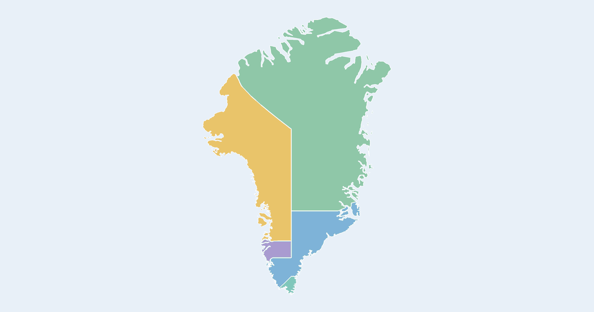
The Greenland map on this page is drawn from 6 regions, each one a separate clickable shape. By mapped area the largest is Nationalparken (about 871,200 km², 41% of the country's mapped surface); the smallest is Pituffik at about 661 km². The two differ by more than a thousandfold on the same map, so the small ones need a zoom before they are easy to hit. The mapped outline reaches from 60°N to 84°N and spans roughly 62° of longitude. The 6 regions are made up of 86 separate landmass outlines, so much of the detail only appears once you zoom in.
States, provinces and regions of Greenland on this map
- Kommune Kujalleq
- Kommuneqarfik Sermersooq
- Nationalparken
- Pituffik
- Qaasuitsup Kommunia
- Qeqqata Kommunia
All 6 are clickable on the map.
Tips for coloring the Greenland map
- At 6 regions there is no need for a gradient — 6 strongly contrasting solid colors will separate them at a glance, even in greyscale print.
- Nationalparken alone covers about 41% of the mapped area, so a shaded choropleth will always be dominated by it. If you are mapping a quantity, import your numbers and switch to the bubble view, which sizes circles by value instead of by land area.
- Switch on a satellite or terrain base layer to see the islands in context — your colored outlines are drawn over the imagery, not replaced by it.
Frequently asked questions
Is the Greenland map free to use?
Yes — coloring and downloading the Greenland map is completely free, with no account or watermark.
How many regions does the Greenland map have?
The map shows 6 first-level administrative divisions of Greenland, each individually clickable and colorable.
Which region of Greenland is the largest?
Measured from the outlines on this map, Nationalparken is the largest of the 6 regions at roughly 871,200 km² — about 41% of the country's mapped surface. The smallest is Pituffik.
What formats can I export?
PNG up to 10,000 pixels wide, or SVG vector — both suitable for print and presentations.
Nearby country maps
Ghana map · Gibraltar map · Greece map · Grenada map · Guam map · Guatemala map · browse all 250+ countries